1923, Volume 2 – Real estate plat-book of the city of Pittsburgh: East End (South), Wards 7 and 14-15
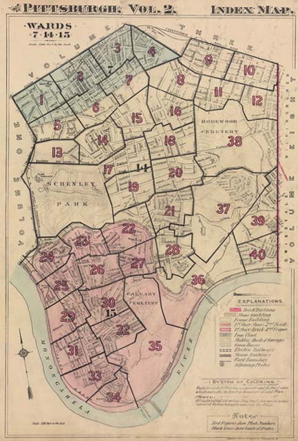
Click on the area which you wish to view. This displays the Map View of this plate of the map.
Please note: All of the individual maps in volumes 1 and 2 from 1923 consist of two plats. On the index map below we have identified these plats as an A or B. (e.g., 1A, 1B, 2A, 2B, etc.). The A and B halves are not designated in the index map itself, but as you move your cursor over the index map, the browser status bar below will show you which plat half you will be linked to.
These volumes have received extensive cleaning by our production staff, but due to age and extensive wear it will still be difficult to see certain details on the index map.